
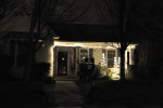
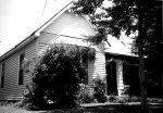

 915 Clinton Avenue E
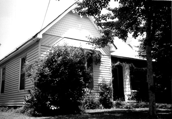
Item 3 of 4 (10419)
Photo taken prior to the creation of the Five Points Historic DistrictSource: Linda Allen
Date: 1999Rights: Huntsville Planning Department
Related Links:
Five Points Survey - Description of 915 Clinton Avenue in the Five Points Historic Register Application, Section 7, Page 18